
Since the Industrial Revolution, Michigan has been known to be the center of automotive. We’ve called ourselves The Motor City, and we’ve shouted from the rooftops that “we put the world on wheels” for as long as I can remember. Hell, this mindset has become so ingrained in our psyche that growing up in the suburbs, you could tell which of the Big 3 your friend’s parents worked at by the cars in their driveway.
But sadly, we’ve been stagnating for decades. Around ¾ of the people that live here now were born here, and we’re lagging by more than 5% of the US average population growth.
We watched our biggest city fall into bankruptcy while automotive jobs were chipped away to half of what they were in 2000. We’ve been left behind.
There’s a sign of good news, though: Detroit has had a population increase for the first time this century. While it’s not much, it could be a sign of a monumental shift. It feels like the first small sprouts have sprung.
This isn’t by chance, as there have been countless people working to bring prosperity here. Mike Duggan has been working to improve the city and bring investment. Dan Gilbert has been buying and building properties within the city. Century Partners are leading the charge on revitalizing the residential real estate market and doing what they can to help the residents build wealth.
I’ve been told to always “look for the helpers” whenever something needed fixing, but I don’t want to sit on the sidelines watching change happen. I want to help bring that change.
I want to bring regional rail to southeast Michigan.
I want to be able to travel around the region without worrying about my car. I want to see small pockets of huge growth, prosperity, and walkability. I want people to not have to spend thousands of dollars just to have a means to take themselves to work or appointments. I want everyone who comes to Detroit for Lions games, concerts, or even just to dip their toes into Canada to see how resilient the area can be.
Selfishly, I want to give all of the insane drivers on local freeways an option to take fewer trips in their cars. I can attribute more grey hairs than I’d like to years of terrifying near-accidents.
The Method:
Approaching this project, I needed to start with something tangible. I needed to understand and convey where rail needed to be. The center of my research focused on two core questions:
Where do people live and where do people work?
To visualize this, I created a map.

Where people live & work in Southeast Michigan.
If you want to filter more, there is a layer control in the top right where you can check or uncheck different aspects. The HTML file with all info available below:
HTML File Link
In this map, the warm colors from orange to red show the total amount of people that work in that census area, while the cool colors from blue to purple outline the density of where people live.
The first thing you’ll see is a scattered archipelago with a variety of pins. This is a filtered dataset where the population density is set to 3.0 people/acre and all the workplaces are above 4500 jobs in that census tract.
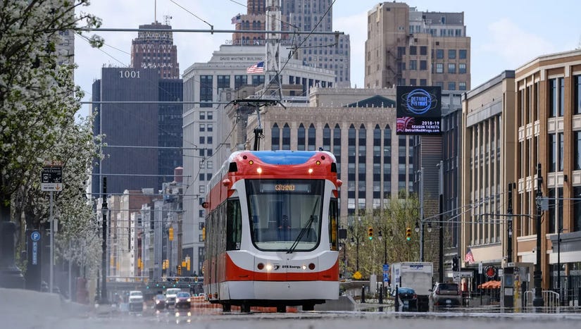
While the entire metropolitan area is fairly sparse, Detroit, Hamtramck, the Royal Oak/Ferndale area, and Ann Arbor show up as the most viable locations for transit expansion. Detroit has already started, as the Q-Line services the rail station to downtown.
By focusing on densifying the existing population centers, we can start building pockets of accessible, flourishing mixed-use neighborhoods. This could also be done in the reverse way, by building a stop and allowing for construction of new center, but I’m not an urban planner; I’m working solely off the data I have put together.
The easiest way to advocate for rail is to focus on the most compelling starting point – expanding what we already have.
The Train Lines:
Every red line you see is existing train tracks that can be found in SE Michigan.
The green line straight through the center is the only existing passenger rail system that goes through the region. Right now, it is almost exclusively used for traveling from Detroit to Chicago, but it has the potential to be so much more than that. We could use it as our starting point for building a dependable system.
I’ve placed three types of pins: blue for current stops and stations, orange for possible expanded stations, and green for points of interest that many people riding this rail would be interested in visiting.
Final Thoughts:
There is one key point I want to emphasize with this map that I’ve created.
The line is already there.
The train already runs.
The scope of the line just needs to be expanded. We need more trains running more frequently through already present and used lines.
We have no push back when I-75 is expanded, we endure I-696 getting closed down for the next year, we complain about the roads we’re forced to utilize daily and are faced with no other viable options. We default to driving everywhere, which doesn’t seem crazy to us as our cities have been designed around cars over people.
I want roads to finally get some competition.
Note: I will be doing more work on this map. Right now I want to get my ideas out into the world and I’m looking for feedback on it. Is the data clear? Is the layout user friendly? I want to gauge other’s ideas, whether you agree or disagree, so I can improve this presentation.
Sources/Thanks: SEMCOG data was instrumental in getting all of this data together; I can’t thank them enough for the public access to set this up. GEOJSON.io was very helpful in setting up the data structure and being able to put census boundaries as well as all data points.